
Colorado-Plateau topographic map
Interactive map
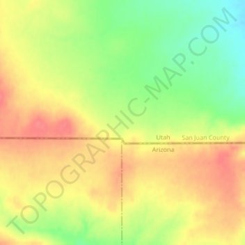
Click on the map to display elevation.
About this map
Name: Colorado-Plateau topographic map, elevation, terrain.
Average elevation: 1,512 m
Minimum elevation: 1,474 m
Maximum elevation: 1,540 m
Other topographic maps
Click on a map to view its topography, its elevation and its terrain.
Bryce Canyon National Park
Vereinigte Staaten von Amerika > Utah
Bryce Canyon National Park, Under the Rim Trail, Garfield County, Utah, Vereinigte Staaten von Amerika
Average elevation: 2,259 m
Utah County
Vereinigte Staaten von Amerika > Utah
Utah County, Utah, Vereinigte Staaten von Amerika
Average elevation: 2,062 m
Millard County
Vereinigte Staaten von Amerika > Utah
Millard County, Utah, Vereinigte Staaten von Amerika
Average elevation: 1,726 m