
Whitsett topographic map
Interactive map
Click on the map to display elevation.
About this map
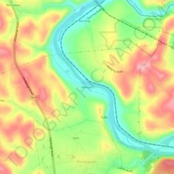
Name: Whitsett topographic map, elevation, terrain.
Average elevation: 304 m
Minimum elevation: 227 m
Maximum elevation: 381 m
Other topographic maps
Click on a map to view its topography, its elevation and its terrain.
Star Junction
United States > Pennsylvania > Fayette County > Perry Township
Star Junction, Perry Township, Fayette County, Pennsylvania, 15482, United States
Average elevation: 358 m