Geolocate

Lac Forant topographic map

Click on the map to display elevation.

About this map

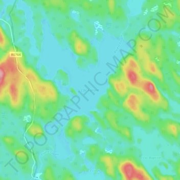
Name: Lac Forant topographic map, elevation, terrain.

Location: Lac Forant, Lac-Nilgaut, Pontiac, Outaouais, Quebec, Canada (46.37643 -77.20767 46.44139 -77.14788)

Average elevation: 285 m

Minimum elevation: 256 m

Maximum elevation: 376 m

Other topographic maps

Click on a map to view its topography, its elevation and its terrain.

Lac Emro

Canada > Quebec > Pontiac > Lac-Nilgaut

Average elevation: 311 m

Gear up for your next adventure:

💧Reusable Water Bottle - Durable water bottles for hydration on trails
🔋Solar Power Bank - Keep your GPS and devices charged during long outdoor trips
🥾Trail Running Boots - Durable shoes designed for trail running
🛶Waterproof Dry Bags - Keep electronics and clothes dry during river crossings
🧤Thermal Hiking Gloves - Grip-enhanced gloves for cold-weather altitude trekking

As an Amazon Associate, this site earns from qualifying purchases at no extra cost to you.