Geolocate

Toti topographic map

Click on the map to display elevation.

About this map

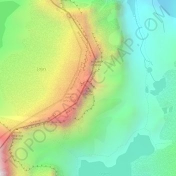
Name: Toti topographic map, elevation, terrain.

Location: Toti, Tame, Arauca, Colombia (6.38314 -72.28067 6.38324 -72.28057)

Average elevation: 4,526 m

Minimum elevation: 4,154 m

Maximum elevation: 5,095 m

Gear up for your next adventure:

🌬️Windproof Camp Stove - Efficient cooking even on exposed mountain peaks
🥫Freeze-Dried Meals - Lightweight, high-calorie nutrition for multi-day treks
🧊Portable Cooler - Keep food and drinks cold during outdoor adventures
❄️Traction Ice Cleats - Slip-on spikes for icy trails and winter hiking
🥾Waterproof Hiking Boots - Essential footwear for rugged terrain and wet Canadian trails

As an Amazon Associate, this site earns from qualifying purchases at no extra cost to you.