Geolocate

Kalanwali topographic map

Click on the map to display elevation.

About this map

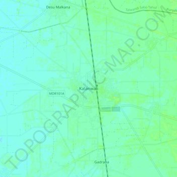
Name: Kalanwali topographic map, elevation, terrain.

Location: Kalanwali, Sirsa, Haryana, 125200, India (29.79306 74.93609 29.87306 75.01609)

Average elevation: 205 m

Minimum elevation: 201 m

Maximum elevation: 209 m

Gear up for your next adventure:

🥾Mountain Hiking Shoes - Shoes with superior grip for mountainous terrain
🧊Portable Cooler - Keep food and drinks cold during outdoor adventures
🥾Approach Shoes - Shoes designed for climbing approaches and rugged trails
🧤Insulated Winter Gloves - Heavy-duty protection for sub-zero Canadian adventures
🥾All-Terrain Hiking Boots - Versatile boots for varied hiking conditions

As an Amazon Associate, this site earns from qualifying purchases at no extra cost to you.