Geolocate

Balibago topographic map

Click on the map to display elevation.

About this map

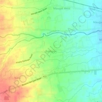
Name: Balibago topographic map, elevation, terrain.

Location: Balibago, Rosario, Batangas, Calabarzon, Philippines (13.83212 121.26258 13.87212 121.30258)

Average elevation: 88 m

Minimum elevation: 59 m

Maximum elevation: 128 m

Other topographic maps

Click on a map to view its topography, its elevation and its terrain.

Pinagsibaan

Philippines > Batangas > Rosario

Average elevation: 57 m

Gear up for your next adventure:

🥾Mountain Trail Shoes - High-traction shoes for mountain trails
🛰️Satellite Messenger - Emergency communication for areas with no cell service
🧦Merino Wool Socks - Moisture-wicking comfort for long-distance hiking
🧥Thermal Layer - Insulating layer for cold outdoor conditions
Camping Coffee Maker - Brew fresh coffee anywhere on the topographic map

As an Amazon Associate, this site earns from qualifying purchases at no extra cost to you.