Geolocate

Waconia topographic map

Click on the map to display elevation.

About this map

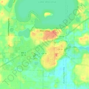
Name: Waconia topographic map, elevation, terrain.

Location: Waconia, Carver County, Minnesota, 55387, United States (44.82194 -93.82922 44.86235 -93.75002)

Average elevation: 297 m

Minimum elevation: 280 m

Maximum elevation: 326 m

Other topographic maps

Click on a map to view its topography, its elevation and its terrain.

Carver

United States > Minnesota > Carver County > Carver > Carver

Average elevation: 242 m

Gear up for your next adventure:

🔋Solar Power Bank - Keep your GPS and devices charged during long outdoor trips
Bushcraft Tarp - Versatile emergency shelter or gear protection
🌡️Emergency Mylar Blankets - Compact thermal protection for unexpected nights outdoors
🥾Trekking Poles - Adjustable trekking poles to reduce knee stress and improve stability
🚲MTB Frame Bag - Carry tools and maps directly on your bicycle frame

As an Amazon Associate, this site earns from qualifying purchases at no extra cost to you.