Geolocate

Hadan topographic map

Click on the map to display elevation.

About this map

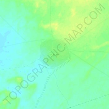
Name: Hadan topographic map, elevation, terrain.

Location: Hadan, Kolayat Tehsil, Bikaner, Rajasthan, India (27.61735 72.86078 27.65735 72.90078)

Average elevation: 275 m

Minimum elevation: 267 m

Maximum elevation: 285 m

Other topographic maps

Click on a map to view its topography, its elevation and its terrain.

Kodamdesar Pond

India > Rajasthan > Kolayat Tehsil > Kodam Desar

Average elevation: 209 m

Gear up for your next adventure:

🧥Fleece Jacket - Warm and lightweight jacket for layering
🧊Portable Cooler - Keep food and drinks cold during outdoor adventures
🚑Survival Whistle - Signal for help across long distances in mountains
🧰Multitool Knife - Compact and versatile tool for outdoor use
🦌Outdoor Trail Camera - Monitor wildlife activity near your favorite spots

As an Amazon Associate, this site earns from qualifying purchases at no extra cost to you.