Geolocate

French Fort Cove topographic map

Interactive map

Click on the map to display elevation.

About this map

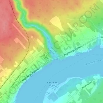
Name: French Fort Cove topographic map, elevation, terrain.

Location: French Fort Cove, Newcastle, Miramichi, City of Miramichi, Northumberland County, New Brunswick, E1V 5L7, Canada (47.01826 -65.54934 47.01836 -65.54924)

Average elevation: 32 m

Minimum elevation: -4 m

Maximum elevation: 79 m

Other topographic maps

Click on a map to view its topography, its elevation and its terrain.

Morrison Cove

Canada > New Brunswick > City of Miramichi > Miramichi

Morrison Cove, Chatham, Miramichi, City of Miramichi, Northumberland County, New Brunswick, E1N 4C5, Canada

Average elevation: 16 m