
Thank you for supporting this site ❤️
Make a donation
Make a donation
Gear up for your next adventure:
As an Amazon Associate, this site earns from qualifying purchases at no extra cost to you.
Boskoop topographic map
Click on the map to display elevation.
Thank you for supporting this site ❤️
Make a donation
Make a donation
Gear up for your next adventure:
As an Amazon Associate, this site earns from qualifying purchases at no extra cost to you.
About this map
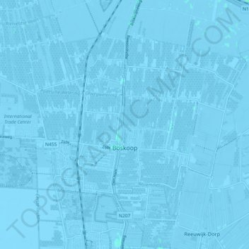
Name: Boskoop topographic map, elevation, terrain.
Location: Boskoop, Alphen aan den Rijn, South Holland, Netherlands (52.05910 4.62530 52.09955 4.71551)
Average elevation: -2 m
Minimum elevation: -8 m
Maximum elevation: 2 m
Thank you for supporting this site ❤️
Make a donation
Make a donation
Gear up for your next adventure:
As an Amazon Associate, this site earns from qualifying purchases at no extra cost to you.