
Grand Anse topographic map
Interactive map
Click on the map to display elevation.
About this map
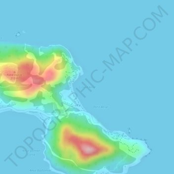
Name: Grand Anse topographic map, elevation, terrain.
Location: Grand Anse, Baie Ste Anne Jetty, Baie Sainte Anne, Seychelles (-4.32295 55.78082 -4.32285 55.78092)
Average elevation: 28 m
Minimum elevation: 0 m
Maximum elevation: 219 m