Geolocate

Louisiana topographic map

Click on the map to display elevation.

About this map

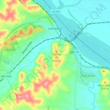
Name: Louisiana topographic map, elevation, terrain.

Location: Louisiana, Pike County, Missouri, 63353, United States (39.41349 -91.09512 39.45961 -91.02760)

Average elevation: 165 m

Minimum elevation: 131 m

Maximum elevation: 253 m

Other topographic maps

Click on a map to view its topography, its elevation and its terrain.

Calumet

United States > Missouri > Pike County

Average elevation: 194 m

LaMotte

United States > Missouri > Pike County

Average elevation: 165 m

Gilbert Island

United States > Missouri > Pike County

Average elevation: 150 m

Gear up for your next adventure:

🧥Waterproof Jacket - Lightweight rain jackets for hiking and outdoor activities
🔦UV Flashlight - Detect minerals or specific insects in the dark
🌬️Windproof Camp Stove - Efficient cooking even on exposed mountain peaks
💧Hydration Bladder - Hands-free hydration solution for long treks
🥾Mountain Hiking Shoes - Shoes with superior grip for mountainous terrain

As an Amazon Associate, this site earns from qualifying purchases at no extra cost to you.