
Nazili topographic map
Interactive map
Click on the map to display elevation.
About this map
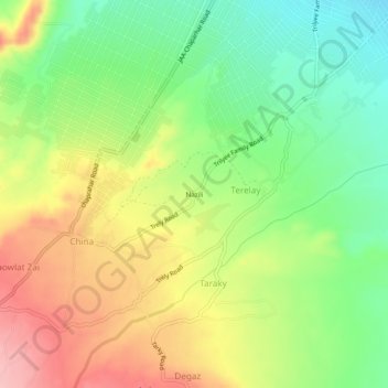
Name: Nazili topographic map, elevation, terrain.
Location: Nazili, Terelay, چپرهار ولسوالۍ, Wilaya Nangarhar, Afghanistan (34.29947 70.39164 34.33947 70.43164)
Average elevation: 784 m
Minimum elevation: 719 m
Maximum elevation: 862 m