
Soledad Etla topographic map
Interactive map
Click on the map to display elevation.
About this map
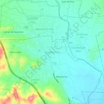
Name: Soledad Etla topographic map, elevation, terrain.
Location: Soledad Etla, Oaxaca, 68250, México (17.14944 -96.84083 17.18944 -96.80083)
Average elevation: 1,614 m
Minimum elevation: 1,581 m
Maximum elevation: 1,723 m