
Mookerheide topographic map
Interactive map
Click on the map to display elevation.
About this map
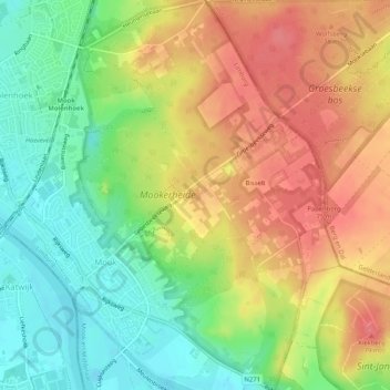
Name: Mookerheide topographic map, elevation, terrain.
Location: Mookerheide, Mook, Mook en Middelaar, Limburg, Nederland (51.74210 5.87928 51.77410 5.91280)
Average elevation: 42 m
Minimum elevation: 6 m
Maximum elevation: 77 m
Other topographic maps
Click on a map to view its topography, its elevation and its terrain.