Geolocate

Hessay topographic map

Click on the map to display elevation.

About this map

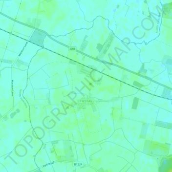
Name: Hessay topographic map, elevation, terrain.

Location: Hessay, York, England, United Kingdom (53.96365 -1.22371 53.98902 -1.17095)

Average elevation: 15 m

Minimum elevation: 11 m

Maximum elevation: 22 m

Gear up for your next adventure:

🔦LED Headlamp - Hands-free lighting for early morning starts or late finishes
🔦UV Flashlight - Detect minerals or specific insects in the dark
🏕️Camping Hammock - Integrated protection for sleeping between trees
🧥Thermal Layer - Insulating layer for cold outdoor conditions
🕯️Camping Lantern - Illuminates your entire campsite with high-efficiency LEDs

As an Amazon Associate, this site earns from qualifying purchases at no extra cost to you.