
Klucze topographic map
Interactive map
Click on the map to display elevation.
About this map
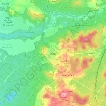
Name: Klucze topographic map, elevation, terrain.
Average elevation: 348 m
Minimum elevation: 292 m
Maximum elevation: 442 m
Other topographic maps
Click on a map to view its topography, its elevation and its terrain.
Olkusz
Poland > Lesser Poland Voivodeship > Olkusz County
Olkusz, gmina Olkusz, Olkusz County, Lesser Poland Voivodeship, Poland
Average elevation: 367 m