
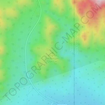
English Mountain topographic map
Interactive map
Click on the map to display elevation.
About this map
Name: English Mountain topographic map, elevation, terrain.
Location: English Mountain, Eureka County, Nevada, United States (39.39405 -115.91344 39.39415 -115.91334)
Average elevation: 2,046 m
Minimum elevation: 1,919 m
Maximum elevation: 2,361 m
Other topographic maps
Click on a map to view its topography, its elevation and its terrain.
Aiken Spring
United States > Nevada > Eureka County
Aiken Spring, Diamond Mine, Eureka County, Nevada, United States
Average elevation: 1,936 m
Great Basin
United States > Nevada > Eureka County
Great Basin, Eureka County, Nevada, United States
Average elevation: 1,918 m