
Sandy Point topographic map
Click on the map to display elevation.
Sandy Point
Aside from a few tiny dunes, the topography of the island is generally flat. Since its separation from Napatree Point, Sandy Point Island has been migrating in a northwestern direction; the northernmost five acres now lie within the boundaries of Connecticut, with the remaining thirty acres still in Rhode Island.
About this map
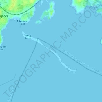
Name: Sandy Point topographic map, elevation, terrain.
Average elevation: 1 m
Minimum elevation: -1 m
Maximum elevation: 15 m