
Thank you for supporting this site ❤️
Make a donation
Make a donation
Gear up for your next adventure:
As an Amazon Associate, this site earns from qualifying purchases at no extra cost to you.
Humamarca topographic map
Click on the map to display elevation.
Thank you for supporting this site ❤️
Make a donation
Make a donation
Gear up for your next adventure:
As an Amazon Associate, this site earns from qualifying purchases at no extra cost to you.
About this map
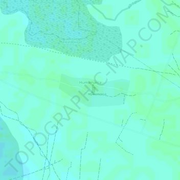
Name: Humamarca topographic map, elevation, terrain.
Location: Humamarca, Municipio Guaqui, Ingavi, La Paz, Bolivia (-16.54078 -68.82989 -16.53576 -68.81871)
Average elevation: 3,817 m
Minimum elevation: 3,814 m
Maximum elevation: 3,819 m
Thank you for supporting this site ❤️
Make a donation
Make a donation
Gear up for your next adventure:
As an Amazon Associate, this site earns from qualifying purchases at no extra cost to you.