
Beasley Fork topographic map
Click on the map to display elevation.
About this map
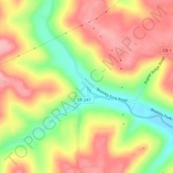
Name: Beasley Fork topographic map, elevation, terrain.
Location: Beasley Fork, Adams County, Ohio, United States (38.73980 -83.52630 38.75980 -83.50630)
Average elevation: 239 m
Minimum elevation: 165 m
Maximum elevation: 297 m
Other topographic maps
Click on a map to view its topography, its elevation and its terrain.
Serpent Mound
United States > Ohio > Adams County
The mound is located on the site of a classic astrobleme, an ancient meteorite impact structure. One of the strongest clues to the impact origin of this structure is in the pattern of disruption of sedimentary strata. In the center of the structure, strata have been uplifted several hundred feet, in much the…
Average elevation: 226 m