Geolocate

Kuya topographic map

Click on the map to display elevation.

About this map

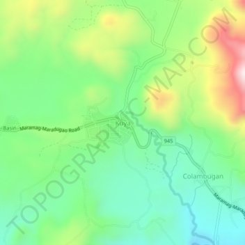
Name: Kuya topographic map, elevation, terrain.

Location: Kuya, Maramag, Bukidnon, Northern Mindanao, Philippines (7.79456 124.87843 7.83456 124.91843)

Average elevation: 682 m

Minimum elevation: 467 m

Maximum elevation: 1,096 m

Gear up for your next adventure:

🧤Rechargeable Heated Gloves - Extreme warmth for Canadian winter expeditions
🦶Hiking Shoe Insoles - Added support for high arches and long days on feet
🔦UV Flashlight - Detect minerals or specific insects in the dark
🥾Trail Hiking Shoes - Durable shoes designed for rugged trails
🧊Portable Cooler - Keep food and drinks cold during outdoor adventures

As an Amazon Associate, this site earns from qualifying purchases at no extra cost to you.