
San Luis topographic map
Interactive map
Click on the map to display elevation.
About this map
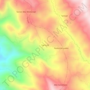
Name: San Luis topographic map, elevation, terrain.
Location: San Luis, Pangoa, Satipo, Junín, Peru (-11.41156 -74.42804 -11.37156 -74.38804)
Average elevation: 1,148 m
Minimum elevation: 703 m
Maximum elevation: 1,473 m
Other topographic maps
Click on a map to view its topography, its elevation and its terrain.
San Martín de Pangoa
San Martín de Pangoa, Pangoa, Satipo, Junín, Peru
Average elevation: 831 m