
Lac Mulenda topographic map
Interactive map
Click on the map to display elevation.
About this map
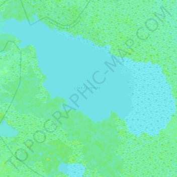
Name: Lac Mulenda topographic map, elevation, terrain.
Location: Lac Mulenda, Bukama, Haut-Lomami, RD Congo (-8.85095 26.03023 -8.74462 26.13515)
Average elevation: 569 m
Minimum elevation: 565 m
Maximum elevation: 576 m