Geolocate

Dicks Hill topographic map

Click on the map to display elevation.

About this map

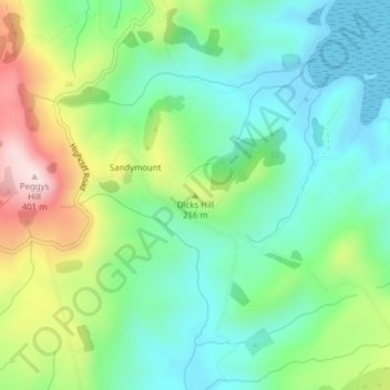
Name: Dicks Hill topographic map, elevation, terrain.

Location: Dicks Hill, Dunedin City, Otago, 9014, New Zealand (-45.87390 170.64702 -45.87380 170.64712)

Average elevation: 128 m

Minimum elevation: -2 m

Maximum elevation: 399 m

Other topographic maps

Click on a map to view its topography, its elevation and its terrain.

Logan Park

New Zealand > Otago > Dunedin City > Dunedin

Average elevation: 44 m

Waitati River

New Zealand > Otago > Dunedin City > Waitati

Average elevation: 259 m

Otago Harbour

New Zealand > Otago > Dunedin City > Dunedin

Average elevation: 113 m

Dunedin

New Zealand > Otago > Dunedin City

Average elevation: 143 m

Cragieburn

New Zealand > Otago > Dunedin City

Average elevation: 203 m

Gear up for your next adventure:

🔋Emergency Crank Radio - Weather alerts and power without needing batteries
Lightweight Backpacking Tent - Compact tent for efficient hiking trips
🦶Hiking Shoe Insoles - Added support for high arches and long days on feet
🥽Outdoor Goggles - Protective eyewear for outdoor activities
🧢Outdoor Visor - Breathable visor for sunny hikes

As an Amazon Associate, this site earns from qualifying purchases at no extra cost to you.