Geolocate

Indian topographic map

Click on the map to display elevation.

About this map

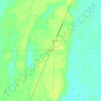
Name: Indian topographic map, elevation, terrain.

Location: Indian, Chicot County, Arkansas, United States (33.03262 -91.30956 33.07262 -91.26956)

Average elevation: 38 m

Minimum elevation: 29 m

Maximum elevation: 46 m

Other topographic maps

Click on a map to view its topography, its elevation and its terrain.

Eudora

United States > Arkansas > Chicot County

Average elevation: 37 m

Dermott

United States > Arkansas > Chicot County

Average elevation: 42 m

Gear up for your next adventure:

Backpacking Tent - Lightweight tent for long-distance hiking trips
💡Compact LED Flashlight - Powerful and portable flashlight for outdoor use
🔦LED Headtorch - Bright and durable light for night activities
🔦LED Headlamp - Hands-free lighting for early morning starts or late finishes
🥾Light Trekking Boots - Supportive boots for multi-day treks

As an Amazon Associate, this site earns from qualifying purchases at no extra cost to you.