
Fort Kent Mills topographic map
Interactive map
Click on the map to display elevation.
About this map
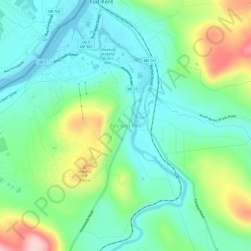
Name: Fort Kent Mills topographic map, elevation, terrain.
Average elevation: 213 m
Minimum elevation: 149 m
Maximum elevation: 367 m
Other topographic maps
Click on a map to view its topography, its elevation and its terrain.
Fort Kent
United States > Maine > Aroostook County > Fort Kent
Fort Kent, Aroostook County, Maine, United States
Average elevation: 217 m
Saint John River
United States > Maine > Aroostook County > Fort Kent
Saint John River, Fort Kent, Aroostook County, Maine, United States
Average elevation: 208 m