Geolocate

Cuyapon topographic map

Click on the map to display elevation.

About this map
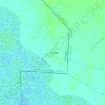
Name: Cuyapon topographic map, elevation, terrain.

Location: Cuyapon, Kabacan, Cotabato, Soccsksargen, 9407, Philippines (7.03132 124.80930 7.07132 124.84930)

Average elevation: 12 m

Minimum elevation: 8 m

Maximum elevation: 17 m

Gear up for your next adventure:

🛁Quick-Dry Microfiber Towel - Space-saving towel that dries rapidly on the move
🧼Biodegradable Camp Soap - Environmentally friendly cleaning for gear and body
🧦Hiking Socks - Moisture-wicking and comfortable socks for long hikes
🔥Camping Stove - Portable stoves to cook outdoors with ease
🥾Trekking Poles - Adjustable trekking poles to reduce knee stress and improve stability

As an Amazon Associate, this site earns from qualifying purchases at no extra cost to you.