
Lunavada topographic map
Interactive map
Click on the map to display elevation.
About this map
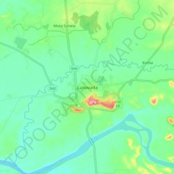
Name: Lunavada topographic map, elevation, terrain.
Location: Lunavada, Mahisagar District, Gujarat, 389230, Inde (23.08917 73.57096 23.16917 73.65096)
Average elevation: 96 m
Minimum elevation: 66 m
Maximum elevation: 180 m