Geolocate

Démare topographic map

Click on the map to display elevation.

About this map

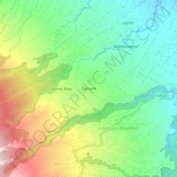
Name: Démare topographic map, elevation, terrain.

Location: Démare, Basse-Pointe, La Trinité, Martinique, 97218, France (14.81312 -61.14072 14.85312 -61.10072)

Average elevation: 256 m

Minimum elevation: 61 m

Maximum elevation: 592 m

Gear up for your next adventure:

🎒Hiking Daypack - Lightweight and durable backpacks for day trips and excursions
🎒Hiking Backpack - Lightweight and ergonomic backpacks for day hikes or multi-day treks
🔭Compact Monocular - One-handed bird watching and trail spotting
🚲Bike Repair Kit - Essential tools for on-trail mechanical issues
🧴Bear Spray Holster - Quick-access carry for essential Canadian wilderness safety

As an Amazon Associate, this site earns from qualifying purchases at no extra cost to you.