
Thank you for supporting this site ❤️
Make a donation
Make a donation
Gear up for your next adventure:
As an Amazon Associate, this site earns from qualifying purchases at no extra cost to you.
İsli topographic map
Click on the map to display elevation.
Thank you for supporting this site ❤️
Make a donation
Make a donation
Gear up for your next adventure:
As an Amazon Associate, this site earns from qualifying purchases at no extra cost to you.
About this map
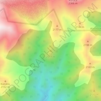
Name: İsli topographic map, elevation, terrain.
Location: İsli, Çamardı, Niğde, Région de l'Anatolie centrale, Turquie (37.69643 35.17933 37.69653 35.17943)
Average elevation: 2,047 m
Minimum elevation: 1,662 m
Maximum elevation: 2,453 m
Thank you for supporting this site ❤️
Make a donation
Make a donation
Gear up for your next adventure:
As an Amazon Associate, this site earns from qualifying purchases at no extra cost to you.