
Botijas topographic map
Interactive map
Click on the map to display elevation.
About this map
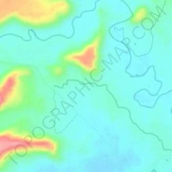
Name: Botijas topographic map, elevation, terrain.
Location: Botijas, Pajonales, Ambalema, Tolima, Colombia (4.77069 -74.84658 4.79069 -74.82658)
Average elevation: 262 m
Minimum elevation: 234 m
Maximum elevation: 343 m