Geolocate

El Burro topographic map

Click on the map to display elevation.

About this map

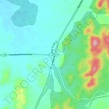
Name: El Burro topographic map, elevation, terrain.

Location: El Burro, Pailitas, Cesar, Colombia (8.85582 -73.68132 8.89582 -73.64132)

Average elevation: 84 m

Minimum elevation: 42 m

Maximum elevation: 215 m

Gear up for your next adventure:

💡Solar Camping Lamp - Eco-friendly lighting for campsites
Camping Tent - Weather-resistant tents suitable for 2 to 6 people
🏕️Camping Hammock - Integrated protection for sleeping between trees
🦶Hiking Shoe Insoles - Added support for high arches and long days on feet
👟Leg Gaiters - Keep debris, mud, and snow out of your boots

As an Amazon Associate, this site earns from qualifying purchases at no extra cost to you.