
Thank you for supporting this site ❤️
Make a donation
Make a donation
Gear up for your next adventure:
As an Amazon Associate, this site earns from qualifying purchases at no extra cost to you.
Taltondi topographic map
Click on the map to display elevation.
Thank you for supporting this site ❤️
Make a donation
Make a donation
Gear up for your next adventure:
As an Amazon Associate, this site earns from qualifying purchases at no extra cost to you.
About this map
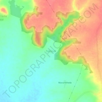
Name: Taltondi topographic map, elevation, terrain.
Location: Taltondi, Mantha, Jalna, Maharashtra, 431504, India (19.68690 76.37109 19.72690 76.41109)
Average elevation: 485 m
Minimum elevation: 454 m
Maximum elevation: 522 m
Thank you for supporting this site ❤️
Make a donation
Make a donation
Gear up for your next adventure:
As an Amazon Associate, this site earns from qualifying purchases at no extra cost to you.