
Make a donation
Gear up for your next adventure:
As an Amazon Associate, this site earns from qualifying purchases at no extra cost to you.
Milte topographic map
Click on the map to display elevation.
Make a donation
Gear up for your next adventure:
As an Amazon Associate, this site earns from qualifying purchases at no extra cost to you.
About this map
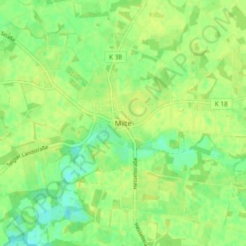
Name: Milte topographic map, elevation, terrain.
Average elevation: 58 m
Minimum elevation: 48 m
Maximum elevation: 62 m
Make a donation
Gear up for your next adventure:
As an Amazon Associate, this site earns from qualifying purchases at no extra cost to you.
Other topographic maps
Click on a map to view its topography, its elevation and its terrain.
Einen-Müssingen
Deutschland > Nordrhein-Westfalen > Kreis Warendorf > Warendorf
Die Gründung des Ortes ist als Pfrund des Stiftes Metelen zurückzuführen. Auf einer kleinen Anhöhe wurde die Pfarrkirche St. Bartholomäus im 11./12. Jahrhundert gebaut. Die erste Erwähnung der Gemeinde in einer Urkunde des Bischofs Otto I. von Münster stammt aus dem Jahr 1216.
Average elevation: 55 m