Geolocate

Devoe topographic map

Click on the map to display elevation.

About this map

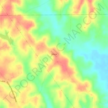
Name: Devoe topographic map, elevation, terrain.

Location: Devoe, Clarke County, Mississippi, United States (32.19126 -88.68532 32.23126 -88.64532)

Average elevation: 136 m

Minimum elevation: 104 m

Maximum elevation: 166 m

Gear up for your next adventure:

Camping Coffee Maker - Brew fresh coffee anywhere on the topographic map
🥾Waterproof Trail Shoes - Shoes designed to handle wet terrain
🧥Ultralight Puffy Jacket - Maximum warmth that packs down to the size of an orange
💧Reusable Water Bottle - Durable water bottles for hydration on trails
🏃Hydration Running Vest - Carry water and maps close to your body for speed

As an Amazon Associate, this site earns from qualifying purchases at no extra cost to you.