
Hamouda topographic map
Interactive map
Click on the map to display elevation.
About this map
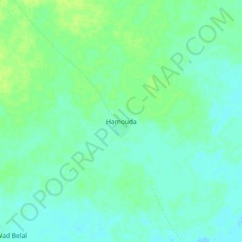
Name: Hamouda topographic map, elevation, terrain.
Location: Hamouda, Darfour-Oriental, Soudan (11.68371 26.51698 11.76371 26.59698)
Average elevation: 479 m
Minimum elevation: 474 m
Maximum elevation: 486 m
Other topographic maps
Click on a map to view its topography, its elevation and its terrain.
Nadif as Sanţah
Nadif as Sanţah, Darfour-Oriental, Soudan
Average elevation: 462 m