
Thank you for supporting this site ❤️
Make a donation
Make a donation
Gear up for your next adventure:
As an Amazon Associate, this site earns from qualifying purchases at no extra cost to you.
Letterkenny topographic map
Click on the map to display elevation.
Thank you for supporting this site ❤️
Make a donation
Make a donation
Gear up for your next adventure:
As an Amazon Associate, this site earns from qualifying purchases at no extra cost to you.
About this map
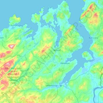
Name: Letterkenny topographic map, elevation, terrain.
Location: Letterkenny, County Donegal, Ulster, Ireland (54.88417 -8.11220 55.28052 -7.51796)
Average elevation: 92 m
Minimum elevation: -5 m
Maximum elevation: 661 m
Thank you for supporting this site ❤️
Make a donation
Make a donation
Gear up for your next adventure:
As an Amazon Associate, this site earns from qualifying purchases at no extra cost to you.