Geolocate

Izvor topographic map

Click on the map to display elevation.

About this map

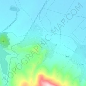
Name: Izvor topographic map, elevation, terrain.

Location: Izvor, Radomir, Pernik, 2415, Bulgaria (42.41291 22.87701 42.45291 22.91701)

Average elevation: 693 m

Minimum elevation: 635 m

Maximum elevation: 1,007 m

Gear up for your next adventure:

🛰️Satellite Messenger - Emergency communication for areas with no cell service
🥾Mountaineering Boots - Supportive boots for climbing and high-altitude hiking
🧴First Aid Kit - Essential first aid supplies for outdoor emergencies
🥾Trekking Poles - Adjustable trekking poles to reduce knee stress and improve stability
🧥Softshell Jacket - Windproof and breathable jacket for hiking

As an Amazon Associate, this site earns from qualifying purchases at no extra cost to you.