Geolocate

Surf Islands topographic map

Click on the map to display elevation.

About this map

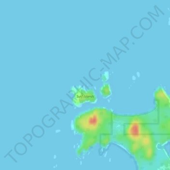
Name: Surf Islands topographic map, elevation, terrain.

Location: Surf Islands, Area A (Ocean Falls/Outer Coast), Central Coast Regional District, British Columbia, Canada (51.66375 -128.15706 51.67130 -128.14539)

Average elevation: 3 m

Minimum elevation: 0 m

Maximum elevation: 49 m

Other topographic maps

Click on a map to view its topography, its elevation and its terrain.

Gear up for your next adventure:

🥾Hiking Shoes - Durable and comfortable shoes for trail hiking
🥾Approach Boots - Comfortable boots for hiking and climbing approaches
Family Camping Tent - Spacious tent suitable for family camping trips
🥾Lightweight Hiking Shoes - Comfortable shoes for day hikes
🧭GPS Tracker - Track your location in remote areas safely

As an Amazon Associate, this site earns from qualifying purchases at no extra cost to you.