Geolocate

Chiot Martin topographic map

Click on the map to display elevation.

About this map

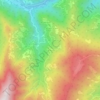
Name: Chiot Martin topographic map, elevation, terrain.

Location: Chiot Martin, Busca, Cuneo, Piemonte, Italia (44.51898 7.32951 44.55898 7.36951)

Average elevation: 1,061 m

Minimum elevation: 616 m

Maximum elevation: 1,539 m

Gear up for your next adventure:

🛌Down Sleeping Bag - Superior warmth-to-weight ratio for cold nights
🐕Hiking Dog Pack - Let your canine companion carry their own water and food
🥾Lightweight Hiking Boots - Boots for comfort and mobility on long hikes
🧣Evaporative Cooling Towel - Beat the heat during intense summer climbs
🎒Hiking Backpack - Lightweight and ergonomic backpacks for day hikes or multi-day treks

As an Amazon Associate, this site earns from qualifying purchases at no extra cost to you.