Geolocate

Jiahui topographic map

Click on the map to display elevation.

About this map

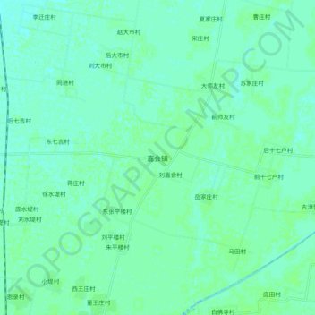
Name: Jiahui topographic map, elevation, terrain.

Location: Jiahui, Hengshui, Hebei, 053000, China (37.35502 115.74480 37.43502 115.82480)

Average elevation: 28 m

Minimum elevation: 24 m

Maximum elevation: 30 m

Other topographic maps

Click on a map to view its topography, its elevation and its terrain.

Fucheng County

China > Hebei > Hengshui

Average elevation: 17 m

Wuyi County

China > Hebei > Hengshui

Average elevation: 20 m

Wuyi County

China > Hebei > Hengshui

Average elevation: 20 m

Gear up for your next adventure:

🧴Waterproofing Spray - Restore the DWR coating on jackets and tents
🥾Approach Shoes - Shoes designed for climbing approaches and rugged trails
🧥Waterproof Hiking Jacket - Protect yourself from rain and wind while hiking
💧Filtered Water Bottle - Safe drinking water on the go
🏕️Camping Hammock - Integrated protection for sleeping between trees

As an Amazon Associate, this site earns from qualifying purchases at no extra cost to you.