
Make a donation
Gear up for your next adventure:
As an Amazon Associate, this site earns from qualifying purchases at no extra cost to you.
Qingjing Farm topographic map
Click on the map to display elevation.
Make a donation
Gear up for your next adventure:
As an Amazon Associate, this site earns from qualifying purchases at no extra cost to you.
Qingjing Farm
The Qingjing Farm (traditional Chinese: 清境農場; simplified Chinese: 清境农场; pinyin: Qīngjìng Nóngchǎng), also known as Cingjing Farm, is a tourist attraction farm in Ren'ai Township, Nantou County, Taiwan. Located at an altitude of 1,700 ~2,000 meters, it's known as one of the three major high mountain farms in Taiwan, besides Wuling Farm and Fushoushan Farm.
Make a donation
Gear up for your next adventure:
As an Amazon Associate, this site earns from qualifying purchases at no extra cost to you.
About this map
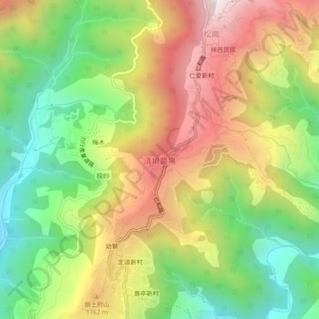
Name: Qingjing Farm topographic map, elevation, terrain.
Location: Qingjing Farm, Renai Township, Nantou County, 546, Taiwan (24.03852 121.14269 24.07852 121.18269)
Average elevation: 1,540 m
Minimum elevation: 1,017 m
Maximum elevation: 2,157 m
Make a donation
Gear up for your next adventure:
As an Amazon Associate, this site earns from qualifying purchases at no extra cost to you.