Geolocate

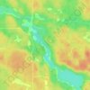
Alban topographic map

Click on the map to display elevation.

About this map
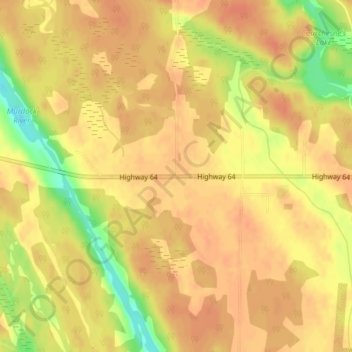
Name: Alban topographic map, elevation, terrain.

Location: Alban, French River, Sudbury District, Northeastern Ontario, Ontario, Canada (46.08472 -80.64630 46.12472 -80.60630)

Average elevation: 206 m

Minimum elevation: 176 m

Maximum elevation: 233 m

Sudbury District trails, hiking, mountain biking, running and outdoor activities

Other topographic maps

Click on a map to view its topography, its elevation and its terrain.

French River

Canada > Ontario > Sudbury District > French River

Average elevation: 205 m

Daoust Lake

Canada > Ontario > Sudbury District > French River

Average elevation: 205 m

Daoust Lake

Canada > Ontario > Sudbury District > French River

Average elevation: 205 m

Gear up for your next adventure:

🕶️Polarized Sunglasses - Reduces glare from snow and water at high elevations
🦶Hiking Shoe Insoles - Added support for high arches and long days on feet
⛺Tent Footprint - Protect tent floor and increase durability
🍽️Titanium Camping Spork - Ultralight and indestructible eating utensil
🩹Compact First Aid Kit - Pre-packed essentials for common trail injuries

As an Amazon Associate, this site earns from qualifying purchases at no extra cost to you.