
Tevriz topographic map
Interactive map
Click on the map to display elevation.
About this map
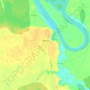
Name: Tevriz topographic map, elevation, terrain.
Average elevation: 58 m
Minimum elevation: 43 m
Maximum elevation: 71 m
Other topographic maps
Click on a map to view its topography, its elevation and its terrain.
Тевриз
Russia > Omsk Oblast > Tevrizsky District
Тевриз, Tevrizsky District, Omsk Oblast, Siberian Federal District, Russia
Average elevation: 70 m