Geolocate

Sanchi topographic map

Click on the map to display elevation.

About this map

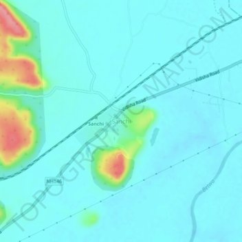
Name: Sanchi topographic map, elevation, terrain.

Location: Sanchi, Raisen Tahsil, Raisen, Madhya Pradesh, 464661, India (23.46705 77.72062 23.50705 77.76062)

Average elevation: 432 m

Minimum elevation: 417 m

Maximum elevation: 514 m

Gear up for your next adventure:

🔥Emergency Fire Starter - Reliable ignition source for all weather conditions
🧊Portable Cooler - Keep food and drinks cold during outdoor adventures
Lightweight Backpacking Tent - Compact tent for efficient hiking trips
📷Outdoor Action Camera - Capture high-elevation views and rugged adventures
🥾Hiking Leggings - Comfortable leggings for outdoor activities

As an Amazon Associate, this site earns from qualifying purchases at no extra cost to you.