
Bradshaw topographic map
Interactive map
Click on the map to display elevation.
About this map
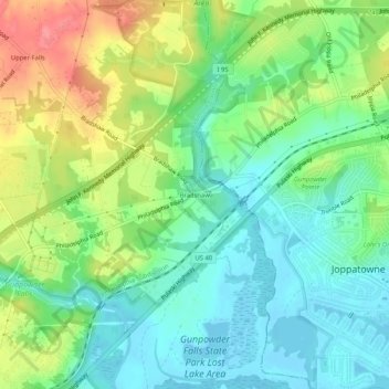
Name: Bradshaw topographic map, elevation, terrain.
Location: Bradshaw, Baltimore County, Maryland, 21021, United States (39.40316 -76.40107 39.44316 -76.36107)
Average elevation: 30 m
Minimum elevation: -3 m
Maximum elevation: 83 m