Geolocate

Chengbei Subdistrict topographic map

Click on the map to display elevation.

About this map

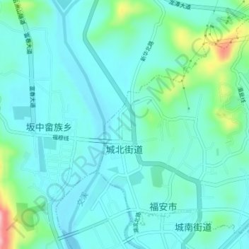
Name: Chengbei Subdistrict topographic map, elevation, terrain.

Location: Chengbei Subdistrict, Fu'an, Ningde City, Fujian, China (27.08570 119.63361 27.11643 119.66761)

Average elevation: 43 m

Minimum elevation: 10 m

Maximum elevation: 188 m

Gear up for your next adventure:

🔦LED Flashlight - Powerful and long-lasting flashlight for camping and emergencies
🧦Thermal Socks - Warm socks for winter hiking or camping
🛰️Satellite Messenger - Emergency communication for areas with no cell service
Family Camping Tent - Spacious tent suitable for family camping trips
📷Outdoor Action Camera - Capture high-elevation views and rugged adventures

As an Amazon Associate, this site earns from qualifying purchases at no extra cost to you.