Geolocate

Larhun topographic map

Click on the map to display elevation.

About this map
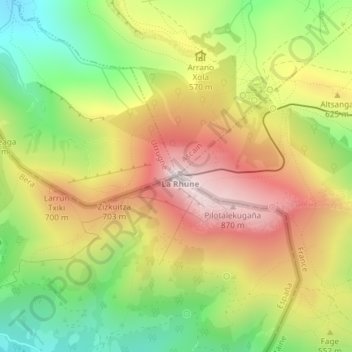
Name: Larhun topographic map, elevation, terrain.

Location: Larhun, Bera, Baztan-Bidasoa, Navarre, Spain (43.30899 -1.63556 43.30909 -1.63546)

Average elevation: 525 m

Minimum elevation: 175 m

Maximum elevation: 886 m

Gear up for your next adventure:

🧢Outdoor Cap - Protective cap for sun and rain during hikes
🚲Bike Repair Kit - Essential tools for on-trail mechanical issues
🥾Mountaineering Boots - Supportive boots for climbing and high-altitude hiking
👟Trail Running Shoes - Agile footwear for fast-paced topographic exploration
🔦UV Flashlight - Detect minerals or specific insects in the dark

As an Amazon Associate, this site earns from qualifying purchases at no extra cost to you.