Geolocate

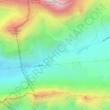
Albulapass topographic map

Click on the map to display elevation.

Albulapass

The Albula Pass is an important axis from central Graubünden to Engadin. It is traversed by a paved road from Thusis to La Punt, via Bergün. It is also traversed by the Albula Railway, although at a lower elevation through the Albula Tunnel (1,820 m), from Thusis to Bever, also via Bergün.

Wikipedia (CC-BY-SA 3.0)

About this map

Name: Albulapass topographic map, elevation, terrain.

Location: Albulapass, La Punt Chamues-ch, Maloja, Grisons, 7522, Switzerland (46.58255 9.83793 46.58265 9.83803)

Average elevation: 2,560 m

Minimum elevation: 2,202 m

Maximum elevation: 3,228 m

Gear up for your next adventure:

🧼Biodegradable Camp Soap - Environmentally friendly cleaning for gear and body
🔥Emergency Fire Starter - Reliable ignition source for all weather conditions
🧶550 Survival Paracord - Versatile utility cord for emergency repairs and rigging
Lightweight Camping Tent - Portable shelter optimized for Canadian backcountry camping
🕶️Polarized Sunglasses - Reduces glare from snow and water at high elevations

As an Amazon Associate, this site earns from qualifying purchases at no extra cost to you.